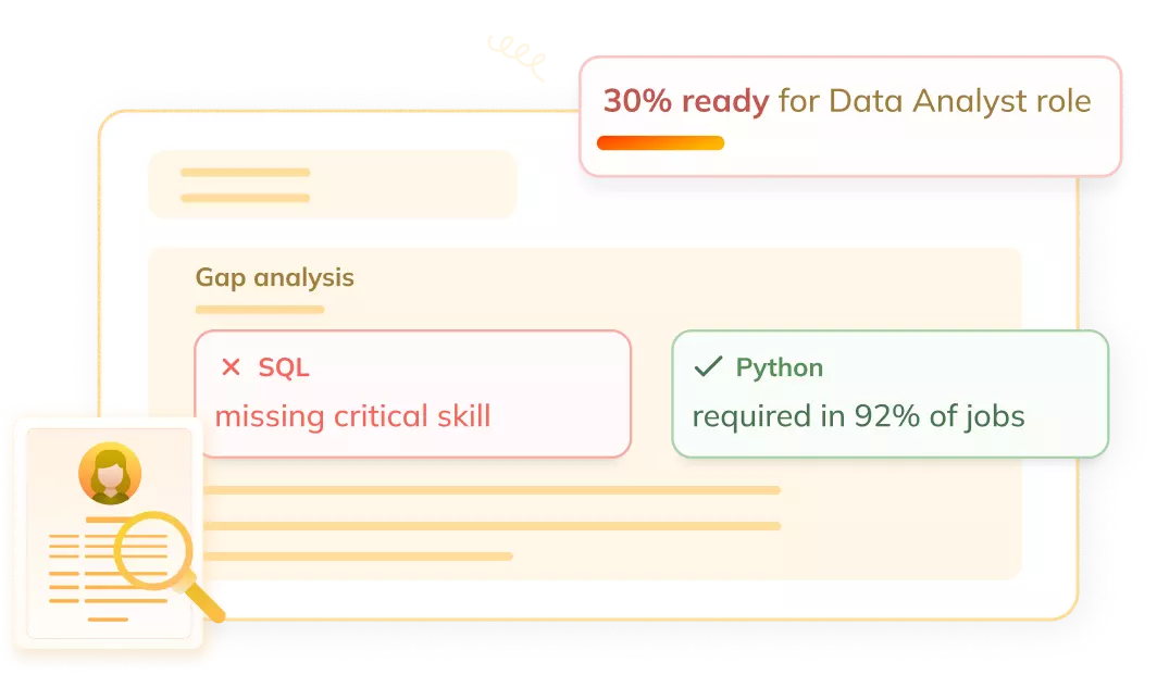
Get a skill gap analysis, personalised roadmap, and AI-powered resume optimisation.
Introduction
In today’s era, data can be found in multiple geographical locations. Within this data is hidden a wide variety of information that can be used in multiple domains like environmental science,Business Intelligence, public health, etc. We can uncover valuable insights and patterns by analyzing information in a geographical context.
In this article, we will explore the fundamentals of Spatial data mining, its applications and the difference between spatial data mining and temporal data mining. So, without further delay, let’s start by first learning what data mining is.
What is Data Mining?
Data Mining is the process of extracting hidden and meaningful patterns from a large set of raw data. This valuable insight can be used in decision-making, optimizations, and predictions. Data mining has many applications like fraud detection, identification of market trends, understanding customer behaviour, diagnosing diseases, etc.
The process of data mining consists of several steps, including data selection, data cleaning, integration, storage, transformation, data mining, pattern evaluation, and knowledge representation.
Spatial Data Mining is a data mining technique that is used to extract information from the data that belongs to a particular location. This type of data is also known as Spatial Data. Spatial Data contains information about the boundaries of objects or geographic coordinates. Examples are satellite data, maps, GPS coordinates, etc.
By considering the context of the geographical locations in the analysis, spatial data mining allows for better decision-making in domains like urban planning, transportation, public health, environmental management, etc.
Now, let’s discuss the types of spatial data to understand spatial data mining better.
Types of Spatial Data
Spatial Data is divided into multiple categories on the basis of their characteristics and representation. Some of the types of spatial data are:
Point Data
The data of any location can be represented by its coordinates in the space. The Point Data consists of individual points in the form of X, Y coordinates ( latitude and longitude coordinates ). Examples of point data are the location of a landmark, specific addresses, or GPS coordinates.
Line Data
The Line Data contains a sequence of points in the form of lines or curves. It is used to represent the linear entities in space. Examples of line data are rivers, pipelines, roads, etc.
Polygon Data
The Polygon Data consists of areas of regions in space. It includes closed shapes, which are formed by connecting multiple points, and the last point is connected to the first to make it close. Examples of polygon data are traffic zones, land parcels, boundaries of lakes or forests, etc.
Raster Data
The Raster Data refers to space in the form of a grid of pixels, where each cell of the grid represents some attributes. It is used to represent the phenomena like satellite imagery, remote sensing, etc.
Image Data
Image Data, as the name suggests, consists of spatial data in the form of images. It is most often used for object detection, capturing visual information about Earth, land cover classification, etc.
Applications of Spatial Data Mining
The following are some of the applications of spatial data mining:
Urban Planning
Spatial Data Mining is used by urban planners to analyze and improve urban dynamics. It can be used to enhance urban growth, improve transportation systems, and refine decisions about land.
Public Health
Spatial Data Mining plays an important role in public health research. It is used to develop strategies to identify diseases, track the spread of infections, and optimize healthcare resources.
Transportation
Spatial Data Mining can be used to identify traffic patterns, prevent congestion, manage the transportation network, and optimize transportation routes.
Environmental Management
Spatial Data Mining also contributes to environmental management by detecting changes in the environment, identifying the land at risk, conserving water and biodiversity, and monitoring natural resources.
Crime Analysis
Spatial Data Mining can be used to identify crime hotspots, understand crime patterns and develop proper strategies to prevent crimes and hence improve public safety.
Spatial Data Mining Vs Temporal Data Mining
Following are some important differences between Spatial Data Mining and Temporal Data Mining.
Basis
Spatial Data Mining
Temporal Data Mining
Definition
Process of extracting information from Spatial Data
Process of extracting temporal relationships and patterns
Data Characteristics
Spatial information or coordinates
Temporal information or timestamps
Techniques
Spatial Association Rules, Spatial Regression Analysis, Clustering, etc.
Time Series Analysis, Temporal Association Mining
Tools
Python libraries like GeoPandas, sci-kit-learn, and Packages like sp and raster in R.
MATLAB, R, Python, etc.
Applications
Urban Planning, Transportation, Public Health, Crime Analysis, etc.
Forecasting, Anomaly Detection
Challenges
Spatial Autocorrelation, Scale and Image Resolution
Temporal Dependencies and Handling Irregular Data.
Frequently Asked Questions
What are some challenges in Spatial Data Mining?
Handling large complex data sets, handling errors, integrating data from multiple sources, image resolution issues, etc., are some of the challenges in Spatial Data Mining.
What are popular tools for Spatial Data Mining?
Python libraries like GeoPandas, sci-kit-learn and packages like sp, sf and raster in R language, etc., are some of the popular considerations for Spatial Data Mining.
How Spatial Data Mining can help in agricultural development?
Spatial Data Mining can contribute to agricultural development by providing information from data captured using satellites, drones, sensors, etc. which can help farmers in crop management.
How is Spatial Data Mining different from traditional Data Mining?
Spatial Data Mining integrates the geographic component in traditional data mining, which helps in extracting information from multiple locations and exploring relationships and patterns among them.
Conclusion
In this article, we discussed, in brief, Data Mining, Spatial Data Mining, Types of Spatial Data, Applications of Spatial Data Mining and finally, its difference from Temporal Data Mining.
To learn more about Data Mining, you can read these articles.
But suppose you have just started your learning process and are looking for questions from tech giants like Amazon, Microsoft, Uber, etc. For placement preparations, you must look at the problems, interview experiences, and interview bundles.


 9+ registered